
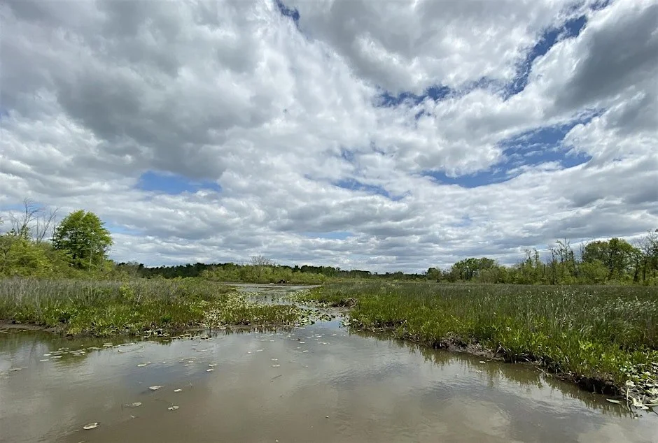
Photo: Occoquan Bay National Wildlife Refuge, Judy Gallagher
When: Wednesday, October 15, 11:30 AM - 1:30 PM
Where: Virtual
Fee: FREE
Federal, State and local government authorities charged with conservation of our biodiversity and natural resources have limited means, which forces them to prioritize their interventions. The same applies for NGOs, foundations and private organizations that are active in conservation. Geographical Information Systems (GIS) are an important tool for spatial targeting of conservation efforts. However, using GIS effectively is not a trivial undertaking.
The planned webinar will provide examples for GIS applications in different settings (all on locations in NOVA) and offer participants an opportunity to learn from these examples, ask questions and build relationships with other organizations that could help them better achieve their goals.
Our target audience includes professionals and volunteers working in government or non-governmental roles focusing on conservation who have an interest in how GIS analysis can help in developing conservation priorities and strategies. In-depth knowledge of GIS tools and applications is not required. Students of environmental sciences (or similar fields) with an interest in GIS are welcome.
Speakers:
Matt Gerhart, Northern Virginia Conservation Trust
Jerry Touval, Northern Virginia Bird Alliance
David Wiedenfeld, American Bird Conservancy